 GIMMIE SICK VIS
Depth mapStoreAboutFeedback
About this site
This site you’re on is a passion project. I designed it with the idea that you’ll still need some idea about analysing the data, rather than having it somewhat spoon-fed like other sites and apps.
When diving the back beaches, I feel you should still understand the major components that drive it (swell, wind, and so on). The forecast section has been designed as an outlook for the next seven days, calculated on a scale of 1–10. Combining this with live chlorophyll scans can give you an idea where ideal dive spots lie.
I’ve added a learn section onto this site to help teach others. I’m still learning on dive forecasting myself, so if you have any ideas for improvement please let me know! :D
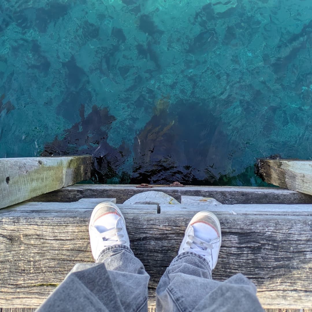
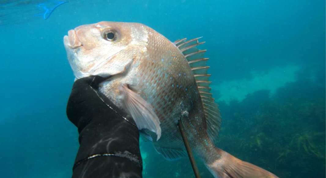
Anyways, a little bit extra about myself. I love my fishing and diving along the Victorian coast in my spare time. As a uni student currently studying Computer Science, I’ve been able to apply some of my skills into building this site along with the help of various AI models. Mainly Claude Code in this case.
I’m also an artist as well?! Every now and then I do something. You might have seen one of my recent drawings being chosen as the new design for the Victorian Recreational Fishing Licence.
I’ve got an official shop “in the making”, you can take a look at and support me if you wish!
Everything here runs on free, public data: marine and weather forecasts from Open-Meteo, sea-surface temperature from NOAA ACSPO, chlorophyll from NOAA CoastWatch, and high-resolution bathymetry and depth contours from DEECA CoastKit (Victoria), with open basemaps from Esri and bathymetry from Mapzen/GEBCO. The whole thing is a single web app — no account, no tracking, no servers of mine.
Ratings and seabed labels are indicative and for planning only. Always check official forecasts, tides and safety information before entering the water.